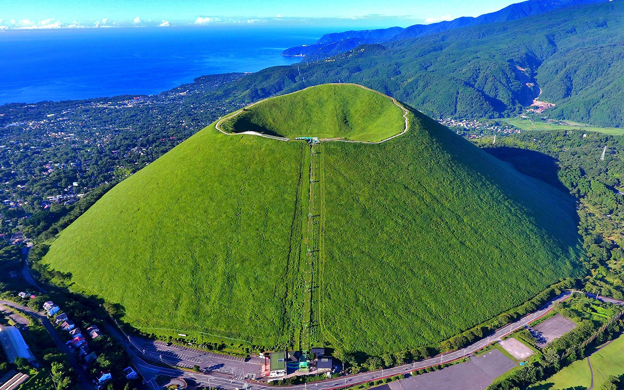
UNESCO’s Executive Board has approved the designation of 8 new UNESCO Global Geoparks bringing the number of sites participating in the Global Geoparks Network to 177 in 46 countries. Two new countries, Luxembourg and Sweden, this year join the Global Network with the designation of their first geoparks.
The UNESCO Global Geopark label recognizes geological heritage of international significance. Member States unanimously ratified its creation in 2015. The sites of this network present an extraordinary geological diversity that underpins different regions’ biological and cultural diversity. The geoparks serve local communities by combining the conservation of their unique geological heritage with public outreach and sustainable development.
With these 8 new designations, the Network now covers a worldwide surface area of 370,662 km², comparable to the area of Japan.
Two of the newly designated UNESCO Global Geoparks are situated in Latin America and six in Europe. Owing to COVID-19 restrictions, no new applications from Asia, Africa or the Arab region could be evaluated this year but several projects for the creation of new geoparks on these parts of the world are under way.
The newly designated UNESCO Global Geoparks are:
Seridó UNESCO Global Geopark, Brazil
The Seridó UNESCO Global Geopark covers an area of 2,800 km² in the semi-arid northeast of Brazil. It is home to more than 120,000 inhabitants, including communities like the Quilombolas, who keep alive the memory of their enslaved ancestors from Africa to preserve their culture through traditional practices, museums and cultural centres. The geopark bears testimony to the last 600 million years of the Earth’s history and shelters one of South America’s largest scheelite mineralizations, an important tungsten ore, as well as basalt flows that stem from volcanic activity during the Mesozoic and Cenozoic Eras. This geodiversity determines to a large extent the region’s unique biodiversity, especially characterized by the Caatinga (‘white forest’ in the Tupi language), an ecoregion marked by specific subtropical flora. The Caatinga is the only exclusively Brazilian biome, which means that much of its biological heritage cannot be found anywhere else on the planet.
1/4
nextchevron_leftpreviouschevron_right
Brejuí Mine, the largest scheelite mine in South America, Seridó UNESCO Global Geopark, Brazil
EMPROTUR / Seridó UNESCO Global Geopark
Getson Luís, Seridó UNESCO Global Geopark
Rock painting, Seridó UNESCO Global Geopark, Brazil
Marcos Nascimento / Seridó UNESCO Global Geopark
Getson Luís, Seridó UNESCO Global Geopark
Southern Canyons Pathways UNESCO Global Geopark, Brazil
The Caminhos dos Cânions do Sul UNESCO Global Geopark in southern Brazil covers an area of 2,830.8 km² and is home to 74,120 inhabitants. It is characterized by Atlantic Forests, one of the planet’s richest ecosystems in terms of biodiversity. The area’s pre-Colombian inhabitants used to shelter in paleoburrows (underground cavities excavated by extinct paleo-vertebrate megafauna like the giant ground sloth) whose numerous vestiges are still visible in the geopark. The site moreover features the most impressive canyons in South America, formed by the unique geomorphological processes that the continent underwent during the breakup of the Gondwana supercontinent some 180 million years ago.
1/4
nextchevron_leftpreviouschevron_right
View of Southern Canyons Pathways UNESCO Global Geopark, Brazil
Priscila Ventura
These caves were made by the extinct elephant-sized ancestors of today’s sloths. The caves were used by early indigenous communities as a shelter.
Priscila Ventura
View of Southern Canyons Pathways UNESCO Global Geopark, Brazil
Gabriel Zaparolli
Southern Canyons Pathways UNESCO Global Geopark, Brazil
Joares Furlanetto

